


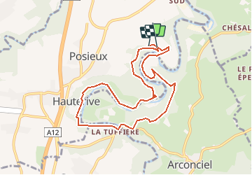

5.1 km | 7.1 km-effort


User


FREE GPS app for hiking
 SityTrail
IGN / Geographical institutes
SityTrail World
The world is yours!
Trail Other activity of 8.7 km to be discovered at Fribourg, Sarine District, Hauterive (FR). This trail is proposed by nordicmarly.
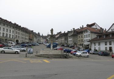
Parking GRANGENEUVE
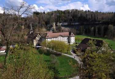
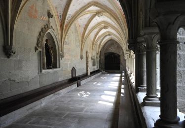
Dir. monastère
Premier chemin qui descend à droite
Descendre, puis remonter le chemin
Rejoindre autre sentier
Tourner à gauche dir. panneaux interdiction circuler
Passer entre gros cailloux
descendre le chemin jusqu''à la rivière
Longer la rivière sur petit bord béton
Passer entre gros rochers
suivre le chemin à travers la forêt
Rejoindre la plaine
Suivre dir. Tuffière
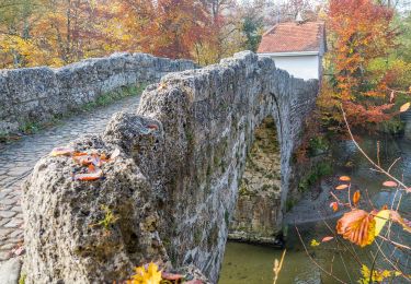
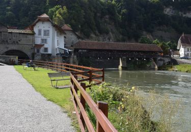
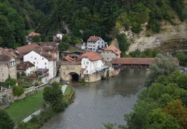
Pont de la Tuffière
Bois d''Avaux
Pra de Villars
La Souche
Pont de l''Abbaye
Parking GRANGENEUVE
On foot
On foot
On foot
On foot
On foot
On foot
On foot
On foot
On foot